How Insurers Actually Evaluate Wildfire Risk on an Individual Home
By the Cindera Team ·
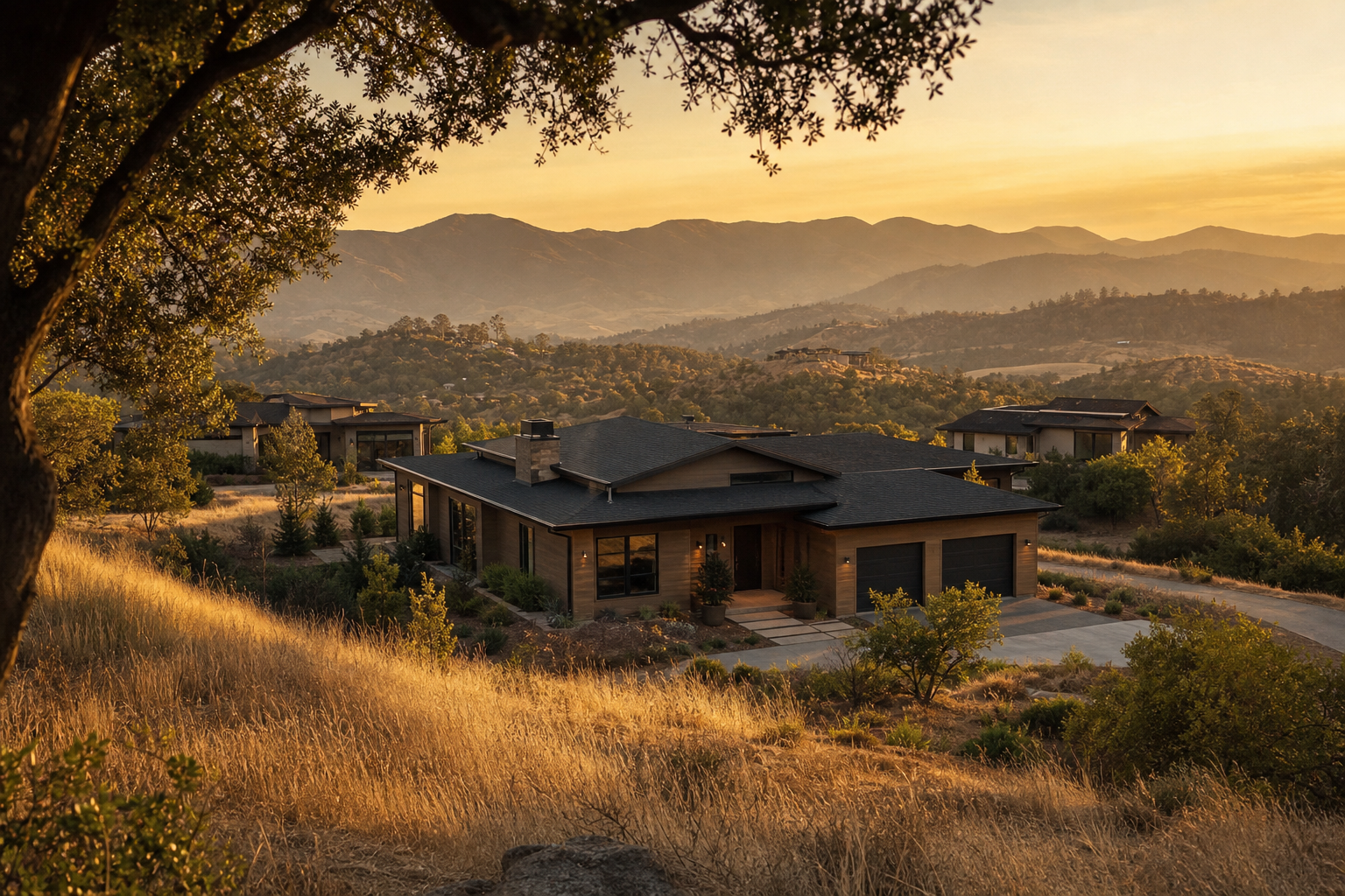
Wildfire insurance decisions are layered, not purely algorithmic. A home may be screened first by geography, but the final underwriting decision usually depends on a mix of parcel location, structure features, mitigation evidence, neighborhood context, and the carrier’s own appetite for more exposure in that territory. That is why two insurers can look at the same house and reach different conclusions, even when they rely on similar data sources. ([1])
The misconception: one map color does not decide the whole policy
Homeowners often hear wildfire insurance described as if a single score or map label controls everything. That is misleading. California’s Fire Hazard Severity Zone maps measure long-term physical hazard, but they do not account for home hardening, recent fuel reduction, or other mitigation. The California Department of Insurance has also said insurers use their own wildfire models rather than the state hazard maps to make underwriting and rating decisions. Oregon draws a similar line in law by prohibiting use of the state wildfire map for rating or underwriting while requiring insurers to consider home hardening and defensible-space efforts. ([2])
Washington’s insurance regulator is even more explicit about what some wildfire scores contain: satellite imagery, property data, insurance loss data, and fire science, all combined at the individual-property level. That is a model input stack, not a simple map color. ([1])
Cindera’s own parcel extract shows why location is a starting point, not the whole story. About 53% of scored parcels in the extract sit in internal FHSZ code 3, and among positive-coded parcels about 82.6% are code 3. Because this is a scored-user sample and not the housing stock, the right takeaway is narrow: many homeowners already begin from a severe location baseline, so parcel conditions matter for distinguishing one house from another.
The underwriting stack, in plain English
Think of wildfire underwriting as six layers.
1) Territory and concentration
Before an insurer cares about the roof, it first asks whether it wants more exposure in that area. Fire history, wildland-urban interface conditions, policy concentration, catastrophe capacity, and reinsurance all influence whether the company is still willing to add risk there. Reinsurance is specifically used to expand or limit underwriting capacity and spread catastrophe risk, so a carrier may decline a home even when the house itself looks well maintained. ([1])
This is the layer homeowners often cannot fix with a remodel.
2) Parcel-level environmental hazard
The next question is how fire could reach the address. Public filings and regulatory materials point to inputs such as fuel, slope, access, aspect, wind, nearby vegetation, and distance to neighboring structures. California regulations allow insurers to use those wildfire-related factors, while requiring mitigation to be recognized in qualifying rating plans. ([3])
A parcel risk score may summarize those conditions, but that is still not the same thing as a catastrophe model. The parcel score is about a specific home; the catastrophe model is about losses across many possible events and is often used for portfolio management and ratemaking.
3) Building characteristics
Once the insurer gets past the territory screen, it looks at whether the structure is likely to ignite or admit embers. Nevada’s wildfire data call found that insurers were considering roof type, siding, vents, outbuildings, defensible space, firefighting access, and loss history. California’s mitigation framework centers on Class A roof covering, ember-resistant vents, a five-foot ember-resistant perimeter, six inches of noncombustible material at the bottom of exterior walls, multipane windows or shutters, enclosed eaves, and clear conditions under decks. ([1])
This is where homeowners can often change the conversation.
4) Current condition and maintenance
A record may show that a home has a Class A roof, but it will not show leaves in the valley, gaps at tile edges, broken vent screens, firewood under a deck, or debris touching siding. Washington’s regulator says insurers may inspect newly insured properties and may act on trees close to the home, brush or debris, or flammable items stored outside. ([4])
That is why maintenance is not cosmetic in underwriting. It reduces uncertainty.
5) Neighborhood and adjacent-parcel context
Insurers are not wrong to consider the neighbor’s shed or a tightly packed subdivision. Camp Fire research found that distance to destroyed structures and canopy cover near the home were among the strongest predictors of survival. NIST likewise notes that high-density communities expose homes to flames, radiation, and heavier ember loads from nearby burning structures. ([5])
6) Carrier appetite and rules
Finally, each carrier applies its own thresholds. One company may accept a house another declines because they buy different risk data, weight the same inputs differently, refresh imagery on different schedules, or have different concentration limits and reinsurance constraints. That is why mitigation can improve the odds of getting covered without guaranteeing a policy.
What Cindera’s parcel-level data shows about documentable risk
Cindera’s action data makes a useful underwriting point very clearly: most of the visible work that matters is not exotic. According to Cindera’s action data as of July 2026, 62.7% of tracked hardening actions fall into four underwriting-relevant groups: structural hardening, ember-entry protection, the zero-to-five-foot immediate perimeter, and defensible-space vegetation. When verification and maintenance actions are included, 78.3% of the action catalog concerns physical conditions a homeowner can change, verify, maintain, or document.
That matters because underwriters can only price what they can see, infer, or verify.
Cindera’s category averages show a similar pattern. Structural hardening has the highest average score impact, followed closely by Zone 0 work, ember-entry protection, and defensible-space vegetation. But the effort profile is different: structural hardening is the most time-intensive on average, while Zone 0 work delivers a high average impact with much less effort. Verification and maintenance are lower-impact on average, but they are fast and can correct stale or missing information about features the home already has.
That chart is the practical homeowner story: most surfaced actions are not major construction projects.
The actions most likely to matter to an underwriter
Cindera’s highest-value surfaced actions include:
- Upgrade to Metal or Tile Class A Roof
- Verify Class A Fire-Rated Roof
- Install Ember-Resistant Attic Vents
- Verify Noncombustible or Treated Siding
- Achieve 5 ft Vegetation-Free Zone
- Enclose or Harden Deck With Noncombustible Material
Those are not abstract wildfire tips. They are the features most likely to change underwriting confidence because they speak to ignition pathways, embers, and the materials closest to the structure.
What insurers can see remotely, and what they usually need proof for
A useful way to think about wildfire underwriting is to split home features into two buckets: what can often be seen from records, satellite, or modeling, and what usually needs photos, documents, or inspection.
| Attribute | Often visible from records, satellite, or modeling | Usually needs photos, documents, or inspection |
|---|---|---|
| Address, parcel, slope, aspect | Yes | Only if mapping is wrong |
| Broad vegetation pattern | Yes | Current trimming, dead material, seasonal growth |
| Road network and dead-end access | Yes | Gates, obstructions, actual driveway clearance |
| Roof shape and broad covering type | Often | Class rating, age, underlayment, edge gaps, condition |
| Detached structures | Often | Construction material, exact separation, contents |
| Siding type | Sometimes | Product class, concealed assemblies, base clearance |
| Deck location | Often | Under-deck storage, debris, mesh, enclosure |
| Zone 0 | Partly | Exact materials and current movable items |
| Vents | Rarely with enough detail | Product listing, mesh size, installation, sealing |
| Gutters and roof debris | Sometimes | Current cleanliness and maintenance cycle |
| Community mitigation designation | Yes, through program lists | Proof only if the list is stale or incomplete |
Washington’s insurance regulator says these scores can rely on satellite imagery and property data, while Verisk separately markets aerial imagery for confirming property characteristics and conditions. That combination explains why some underwriting decisions move quickly and others require a homeowner to submit proof. ([1])
What homeowners should document before shopping or appealing
Before you spend money, ask the carrier or agent what kind of decision you are actually dealing with:
- Is this an eligibility issue, a pricing issue, a renewal issue, or an inspection issue?
- What wildfire score or classification is being used?
- Who produced it?
- What are the main drivers?
- Which improvements can change eligibility, and which only affect price?
- What proof does the company accept?
- Will it accept a fire department or CAL FIRE inspection?
That question alone can save a homeowner from replacing a roof to solve a territory-capacity problem that the roof cannot change.
Roof
Document the roof covering with permits, invoices, manufacturer paperwork, and wide photographs of each plane. Include close-ups of edges, valleys, flashing, and tile details, plus dated photos showing a debris-free roof and gutters. California notes that many asphalt-shingle, concrete, masonry-tile, and metal roofs can qualify as Class A, so homeowners should verify the actual product rather than assume the material from appearance alone. ([3])
A caution matters here: a Class A covering does not prove the whole roof assembly is ember-resistant. NIST has found that embers can enter gaps in some tile assemblies and reach vulnerable material underneath. ([1])
Vents and openings
Photograph every attic, gable, soffit, roof, foundation, crawlspace, and dryer vent. If the vent is mesh-screened, measure it. If it is a listed ember-resistant product, save the product documentation. The current IBHS Wildfire Prepared Home checklist allows either flame- and ember-resistant vents or corrosion-resistant metal mesh up to one-eighth inch for its Essential designation, and it explicitly says not to place mesh over a dryer vent. ([1])
Siding and the base of walls
Take wide photos of each elevation and close-ups of the material and the bottom six inches of exterior walls. California’s mitigation framework and the IBHS checklist both emphasize a noncombustible base-of-wall detail such as concrete, fiber cement, brick, stone, stucco, or metal flashing. ([1])
Zone 0 and defensible space
Take four-sided photographs of the first five feet around the home. Show the groundcover, furniture, planters, firewood, trash containers, fences, and any items touching the house. California requires 100 feet of defensible space in covered areas, but the statewide zero-to-five-foot ember-resistant zone remains a moving policy target rather than a finalized statewide rule for every existing home. Treat it as an insurance mitigation factor and a homeowner priority, not as a universally final legal requirement. ([1])
Decks
Photograph the deck surface, the underside, the connection to the house, and any storage underneath. IBHS requires no under-deck storage for elevated decks in its Essential standard and calls for one-eighth-inch corrosion-resistant mesh around certain low-elevation decks. ([1])
Outbuildings and propane
Show the house and detached structures together in wide shots, then document the separation distance, roof and wall materials, contents, vegetation, and clearances around propane tanks. California’s insurance framework uses 30 feet as a benchmark for outbuilding separation, while NIST experiments found flame-striking distances of about 10 feet for smaller sheds and 15 feet for larger ones in tested configurations. Those test numbers are useful, but they are not universal setback rules. ([1])
Maintenance records
Keep a simple evidence file with dated roof photos, vegetation invoices, arborist reports, defensible-space inspections, permits, contractor invoices, and before-and-after pictures. IBHS designations last three years but require annual review of landscape maintenance, which is a good model for homeowners to follow even outside the IBHS program. ([1])
Where insurers commonly differ
The same house can be treated differently by different carriers because they may use different wildfire models, different score thresholds, different imagery refresh schedules, and different rules for how mitigation affects eligibility or only premium. Colorado’s wildfire planning guidance notes that carriers choose among tools such as Verisk FireLine, CoreLogic Brushfire, and RedZone according to underwriting guidelines and risk tolerance. ([1])
That difference shows up in practice.
Nevada’s data call found that 50.5% of responding insurers used a scoring model for wildfire underwriting, while 44.2% considered individual mitigation and 5.2% considered community mitigation. That is strong evidence against the idea of a single universal algorithm controlling every decision. It is a market snapshot, not a national census, but it shows how much workflows vary. ([1])
California also reports that wildfire-mitigation discounts can range widely, with a March 2026 briefing showing approved discounts of about 4% to 40%. That is a reminder that a mitigation improvement may produce a discount, an eligibility change, both, or neither, depending on the carrier. ([1])
What underwriters want to see
Think of this as an evidence packet, not a form.
1) Property identification
Include the address, parcel number, date of photos, and a simple diagram of the house, deck, garage, sheds, and propane tank. This helps prevent evidence from being matched to the wrong structure or an outdated aerial image.
2) Roof
Include Class A documentation, installation date, permit, and photos of the covering, edges, valleys, flashing, and gutters. This helps separate roof material from installation quality and current condition.
3) Vents and openings
Include product documentation and close-ups of every vent type. This matters because vent performance is usually too fine-grained to verify from satellite or assessor records.
4) Siding and wall base
Include material documents, elevation photos, and the lower-wall detail. Broad imagery can misidentify siding, and the six-inch base detail is a real ignition pathway issue.
5) The first five feet
Include corner-to-corner photos, surface materials, and before-and-after documentation. Zone 0 changes fast, so stale imagery can lag behind reality.
6) Decks and attachments
Include deck materials, the underside, storage, enclosure details, and the connection to the home. Aerial imagery can show the deck but not the ignition pathway underneath it.
7) Vegetation and maintenance
Include overview photos, branch clearance, tree and shrub spacing, grass condition, and arborist reports. This demonstrates current conditions rather than a permanent characteristic.
8) Outbuildings, fencing, and propane
Include separation measurements, materials, clearances, and vegetation. These items can become intermediate fuel sources between wildfire and the main building.
9) Access and site readiness
Include driveway width, turnaround area, gates, obstructions, and address visibility from the street. The primary sources show that road access and firefighting access matter; address numbers are best presented as practical site-readiness evidence rather than as a proven universal score input.
10) Written carrier response
Ask the company to confirm whether the evidence changes the score, the eligibility decision, the premium, or the effective date. That keeps a discount from being mistaken for approval of new business.
A practical homeowner decision path
Start with the reason for the current result. Is the issue a geospatial score, a stale record, a failed inspection, a roof or construction rule, or a territory-capacity limit? The right fix depends on the actual problem.
Then verify what already exists before replacing anything. Cindera’s highest-value surfaced actions suggest that homeowners should first confirm Class A roof status, siding material, vent type, deck construction, and the condition of the first five feet around the home.
Next, do the easy current-condition work: clear dead vegetation within five feet, remove combustible storage under decks, move items away from combustible siding, clean decks and gutters, and remove seasonal roof debris. These are fast actions that can be photographed immediately.
Then address ember openings and the immediate perimeter. That is where vent upgrades, roof-edge sealing, under-deck hardening, and a continuous low-combustibility first five feet become especially important. If you want the deeper home-details guide, this is where our earlier pieces on ember openings and defensible space belong: /insights/embers-are-the-main-way-homes-ignite-in-wildfires-heres-the-vent-and-opening-checklist-that-stops-them and /insights/defensible-space-zones-1-and-2-the-vegetation-work-that-actually-changes-outcomes.
Only after that should you consider major structural work like a roof replacement, siding replacement, major deck reconstruction, window replacement, or full eave enclosure. Before you spend that kind of money, ask whether the work would change eligibility or only create a discount.
Finally, submit a dated evidence packet and request rescoring, appeal, or inspection where available. In California, homeowners can request an updated score or classification, and the insurer must provide it within 30 days. A carrier must also accept CAL FIRE or local fire department inspection as proof if it requires inspection to verify mitigation. Those are correction rights, not guarantees of a better outcome. ([1])
What to do next
If your home is in a wildfire area, start by checking your parcel-level risk and the features that are visible, verifiable, and improvable at the home itself: /score. Then organize the proof for the things underwriters actually ask about — roof, vents, siding, Zone 0, decks, outbuildings, and maintenance — so the next quote or renewal is grounded in documented conditions rather than guesswork.
If you are trying to move from a temporary or nonadmitted option into the admitted market, pair that documentation with the strategy in our FAIR Plan guide: /insights/how-to-leave-the-california-fair-plan-the-home-hardening-that-helps-you-qualify-for-better-coverage.
Sources
- Washington Office of the Insurance Commissioner - Wildfire risk and your insurance
- California Department of Insurance - CAL FIRE hazard maps do not affect insurance rates or availability PDF
- California Department of Insurance - Reform made real: final evaluation of forward-looking wildfire catastrophe model
- Washington Office of the Insurance Commissioner - Wildfires and home insurance
- insurance.wa.gov
- Oregon Legislative Information System - SB 82 Overview
- California Department of Insurance - CAL FIRE hazard maps do not affect insurance rates or availability
- Oregon Division of Financial Regulation - Insurance companies not using state wildfire risk map
- NAIC - Reinsurance overview
- California Department of Insurance - Wildfire Risk Information Reporting
- California Department of Insurance - Safer from Wildfires
- IBHS - Wildfire Prepared Home checklist
- California Department of Insurance - Safer from Wildfires one-pager
- California Board of Forestry - Defensible space zones 0, 1, and 2
- U.S. Forest Service TreeSearch - Camp Fire home survival study
- NIST - Structure survivability guidance
- NIST - Terracotta and cement roofs vulnerable in wildfires, study finds
- NIST - Sheds in wildfire zones
- Colorado wildfire mitigation blueprint hosted by the U.S. Forest Service
- California Department of Insurance - Wildfire safety and insurability briefing
- California Department of Insurance - July 2026 market update